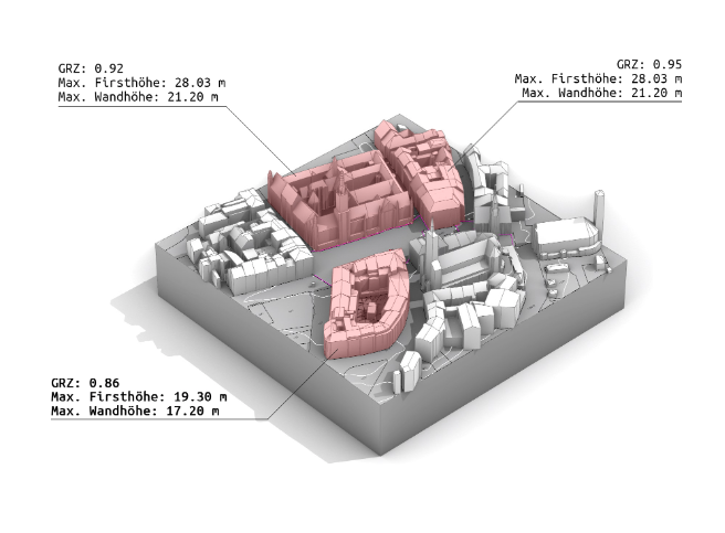
Bauanalyse - München
Do you work with properties on a daily basis as an architect, private property owner, real estate agent or project developer? We have the solution for you: we analyse properties using official geodata and evaluate them automatically. In the first step, we obtain all the necessary official geodata that together form the perfect data basis for your construction project: Digital terrain model (topography) of your property (DGM1) 3D building data of the neighbourhood (LOD2) Official cadastral plan (ALKIS) We calculate the new-build potential of your property! Depending on its size, shape and urban context, your property has a certain number of square metres of living or usable space. This parameter is crucial for the value of your property. That is why we calculate all the important key figures for you, such as living space, floor space index, cubic measure and much more. All the important key figures. E.g. floor space index (GRZ), living space (according to WoFlV), gross floor area (BGF), and much more.
| Name of service | Timeslot duration | Service cost, EUR |
| 30 minutes | 0.00 |


